|
Historical U.S. Maps
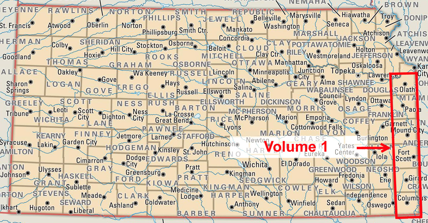
In an effort to make detailed U.S. geographical history available,
Platform3Research is undertaking a project to compile collections of
historical topographical maps on a regional basis. The project is beginning
with The Florida eastern coast and the State of Kansas, and if demand warrants,
will continue with other
states. This map series is published in a .PDF format and available on
a set of compact dics for each region. Click product images below to learn more.
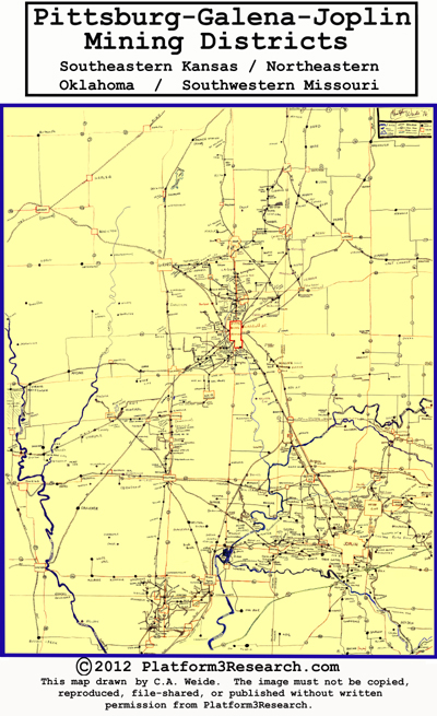
Other map or geographical products will also be made available from time-to-time such
as the Southeastern Kansas/Southwestern Missouri mining district map compiled during
the 1970s. Click on the Mining District image below for more information.
|